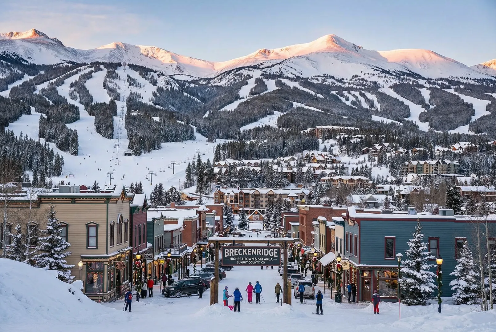
Breckenridge
United States
Elevation
2,926m – 3,914m
Lifts
35
Slopes
187 km
Airport
Denver International (DEN)
About Breckenridge
Breckenridge offers the highest town and the highest ski area in Summit County, Colorado. Spanning an impressive 2,926m to 3,914m, it boasts 187 km of slopes and 35 lifts, with Denver International (DEN) as the nearest airport.
Détails du domaine skiable
Statistiques clés
Sommet3,914m
Base2,926m
Dénivelé988m
Total des remontées mécaniques35
Total des pistes187 km
Pistes
Green (Beginner)11
Blue (Intermediate)31
Red (Advanced)35
Black (Expert)23
Notes
Ski
Beginners
Intermediate
Advanced
Off-Piste
Snowboarding
Snow Guarantee
Station
Family Friendly
Après Ski
Mountain Weather
Skiing: Good
watchHigh Wind Watch
Strong wind gusts up to 63 km/h expected. Some upper lifts may be affected.
1°C
Clear Sky
Ressenti-1°C
Vent7 km/h
Humidité51%
Neige3 cm
3°C-11°C06:4319:313 914m
5-Day Forecast
Sun
10°C/-5°C
—
15 km/h
Mon
10°C/-4°C
—
17 km/h
Tue
10°C/-2°C
2.9mm
30 km/h
Wed
10°C/-1°C
0.3mm
28 km/h
Thu
10°C/-1°C
0.4 cm
25 km/h
Data: Visual Crossing · Updated 01:53
Ski Area Map
Explore the ski runs and pistes around Breckenridge. Toggle the ski piste overlay using the layer control.

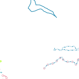

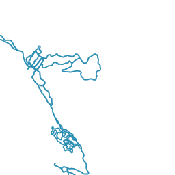

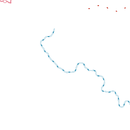

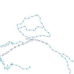


Ski piste data from OpenSnowMap.org (CC-BY-SA)
Ski Schools at Breckenridge(1 school)

Avis
No reviews yet. Be the first to review Breckenridge!

Nearby Resorts in United States
Discover more ski resorts in United States